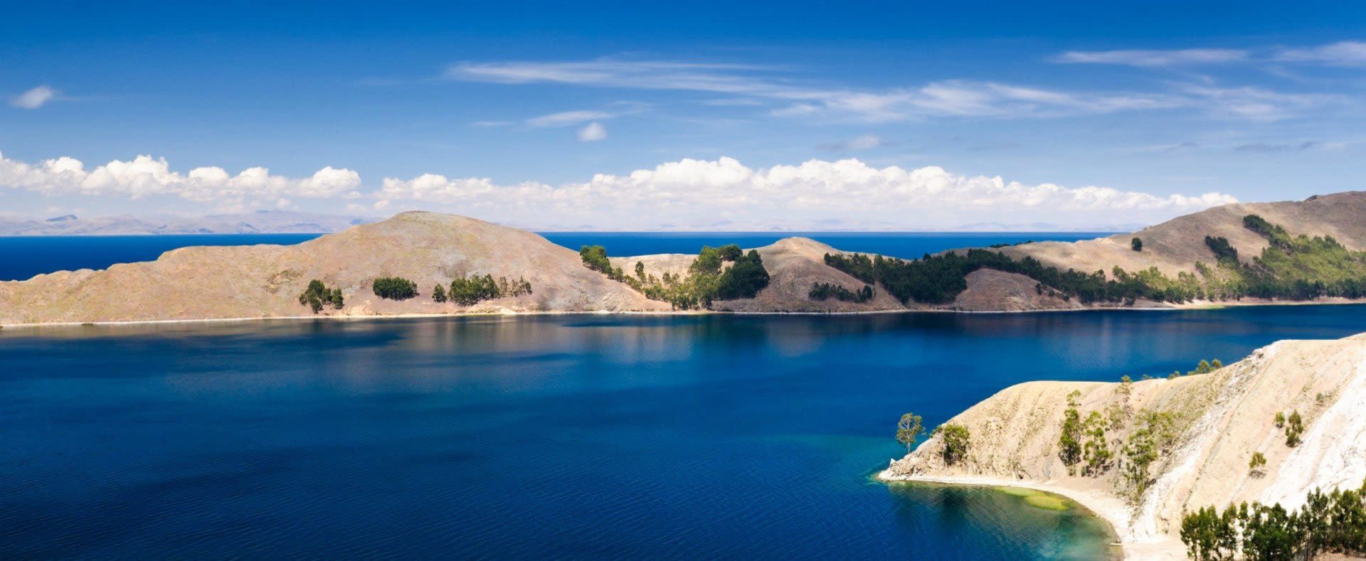
There are three main climate regions in Bolivia: the Altiplano (highlands) in the west, the central highlands in the south-central region just beyond the Andes, and the tropical lowlands in the east, including the Amazon Basin. Bolivia is a hot country and a cold one, and altitude decides which far more than the month does. On an average July day the airport above La Paz reaches 58°F (14°C) and falls to 25°F (−4°C) at night, while Rurrenabaque, in the Amazon lowlands, reaches 83°F (28°C).
These are the 1991–2020 climate normals of SENAMHI, Bolivia’s national weather service: 30-year averages at each station. January stands for the rainy summer, July for the dry winter.
| City (SENAMHI station) | Altitude | January high / low | July high / low | Rain per year | Wettest months | Driest months |
|---|---|---|---|---|---|---|
| La Paz (El Alto airport) | 13,200 ft (4,025 m) | 58°F / 39°F (14°C / 4°C) | 58°F / 25°F (14°C / −4°C) | 24 in (613 mm) | January, February | June, July |
| Uyuni (airport) | salt flat: over 11,800 ft (3,600 m) | 69°F / 42°F (20°C / 5°C) | 56°F / 16°F (13°C / −9°C) | 7.4 in (188 mm) | January, February | April–November |
| Sucre (city) | 9,530 ft (2,904 m) | 72°F / 53°F (22°C / 12°C) | 70°F / 42°F (21°C / 6°C) | 24 in (619 mm) | January, February | June, July |
| Santa Cruz (Viru Viru airport) | 1,220 ft (373 m) | 88°F / 72°F (31°C / 22°C) | 78°F / 59°F (25°C / 15°C) | 53 in (1,345 mm) | January, February | July, August |
| Rurrenabaque (Amazon lowlands) | 670 ft (204 m) | 89°F / 72°F (32°C / 22°C) | 83°F / 62°F (28°C / 17°C) | 78 in (1,971 mm) | January, February | July, August |
Read across a row and, in the mountains, the afternoons hardly change between summer and winter. The nights and the rain do. Read down the rows and altitude does the rest.

La Paz sits at approximately 12,000 feet (3,650 m), by the CDC’s figure, and the El Alto airport above it at 13,200 feet (4,025 m). Up here July in the dry (winter) season and January in the wet (summer) season feel the same at noon: El Alto averages 58°F (14°C) in both. The difference comes after dark. A July night averages 25°F (−4°C), June is about as cold, and a January night averages 39°F (4°C). Down in the city center, SENAMHI’s La Paz Centro station stays just above freezing on an average July night, at 38°F (3°C).
Rain is the real season. December to March brings 69 percent of El Alto’s 24 inches (613 mm) a year, and an average January has 23 rainy days; June has three. The usual rule, dry from May to October and wet from November to March, blurs at the edges: October and November each bring about 1.9 inches (49 mm). Summer storms can carry hail, and one SENAMHI forecast for early January warned of possible snow above 13,450 feet (4,100 m). For when to go, see the best time to visit Bolivia.
Then the sun. The World Health Organization puts the rise in UV at about 10 percent for every 1,000 meters of altitude, roughly 40 percent more at El Alto than at sea level, and cold air does not change that. Wear a hat and sunscreen on a La Paz tour, even on a morning when you can see your breath.
The Salar de Uyuni lies more than 11,800 feet (3,600 m) up, and Uyuni is the driest station in the table: 7.4 inches (188 mm) a year, 94 percent of it from December to March, and 0.3 inches (7 mm) in total from May to October. This warmer, more arid south is warmer in January, not in July. Uyuni beats El Alto by day in January, 69°F (20°C) against 58°F (14°C), but July afternoons stop at 56°F (13°C), so it can even get cold during the day. The nights dip well below freezing: 16°F (−9°C) on an average night in June or July. Potosí averages 24°F (−5°C) on a July night.
When the rains arrive, water can fill part of the salt crust and give it the mirror-like look the photographs show, in NASA’s description. Too much water is its own problem: in early 2022 NASA noted reports of flooding and temporary bans on travel across the salar. If the mirror is the reason for the trip, leave a spare day in the plan. See our Salar de Uyuni tours and Potosí tours.
The central highlands have comfortable temperatures. Sucre, at 9,530 feet (2,904 m), averages highs of 72°F (22°C) in January and 70°F (21°C) in July, with nights of 53°F (12°C) and 42°F (6°C).
Little rainfall year-round, though, is a myth. Sucre gets 24 inches (619 mm) a year, about as much as El Alto, and an average January brings 5.2 inches (133 mm) on 16 rainy days. The dry months are dry: May through August add up to half an inch (14 mm). See our Sucre tours.

The Amazon Basin in the east is hot, humid, and rainy. Rurrenabaque, at 670 feet (204 m) in SENAMHI’s Amazon region, averages highs of 89°F (32°C) in January and 83°F (28°C) in July, with nights of 72°F (22°C) and 62°F (17°C). Santa Cruz runs a little cooler in winter, at 78°F (25°C) by day and 59°F (15°C) at night.
The lowlands have a dry season, just not an Altiplano one. Rurrenabaque gets 78 inches (1,971 mm) a year, and even June brings 4.9 inches (124 mm) on about ten rainy days. Santa Cruz’s driest month, August, still brings 1.5 inches (38 mm).
The July average can hide a cold snap. In June 2026 Bolivian press reported a SENAMHI orange alert for a surazo, a cold front, in Santa Cruz: a sharp drop in temperature, city lows of 54 to 57°F (12 to 14°C), 32 to 39°F (0 to 4°C) in the Santa Cruz valleys, and southeast winds. On a lowland trip in winter, a warm layer earns its space.
Altitude sickness is common for foreigners on arrival in La Paz. By the CDC’s numbers, sleeping at 8,000 feet (2,450 m) or higher without acclimatizing carries a risk, and flying straight to above 11,150 feet (3,400 m) puts you in the high-risk group, where rates approach 50 percent. La Paz, El Alto’s airport and Uyuni are all above that line. Sucre, at 9,530 feet, is below it but above the first. Read our staying healthy page before you book the flights.
Bolivia asks you to pack for two climates. On the Altiplano a July afternoon and the night after it are 33°F (18°C) apart at El Alto and 40°F (22°C) at Uyuni, so pack a sweater or fleece, a warm jacket and a hat for the evenings, and layers to peel off at noon. Add a rain shell from December to March, and sunglasses and strong sunscreen whatever the thermometer says. The lowlands want light clothes and rain gear in any month. The rest is on our Bolivia packing list.
Our Highlights of Bolivia tour, through Santa Cruz, Sucre, Potosí, Uyuni and La Paz, crosses four rows of that table. For a custom Bolivia trip, share your dates when you get in touch, so the rain and the altitude shape the order of the route. Or start with our Bolivia tours.





