Brazil is a vast country, even larger than the continental US, and about half of it is covered by the Amazon. So look first at the region you are visiting, then at the month.
Brazil’s seasons follow the southern hemisphere: winter starts in June and summer in December. In the tropical north and along the northeast coast the temperature barely moves through the year, and what changes is the rain. The south is different. Paraná, Santa Catarina and the Rio Grande do Sul, the states farthest from the equator, have a real winter.
These are official 1991–2020 climate normals from INMET, Brazil’s national meteorological institute, plus the World Meteorological Organization normals for the Iguazú airport station on the Argentine side of the falls. Cities run north to south; highs and lows are the monthly averages for January and July.
| City (weather station) | January high / low | July high / low | Rain per year | Wettest months | Driest months |
|---|---|---|---|---|---|
| Manaus, Amazon | 88°F (31°C) / 74°F (24°C) | 91°F (33°C) / 75°F (24°C) | 93 in (2,362 mm) | January–April | July–September |
| Recife (Curado) | 87°F (31°C) / 74°F (23°C) | 82°F (28°C) / 70°F (21°C) | 85 in (2,156 mm) | May–July | October–December |
| Salvador (Ondina) | 88°F (31°C) / 75°F (24°C) | 80°F (27°C) / 70°F (21°C) | 72 in (1,833 mm) | April–June | December–January |
| Cuiabá, northern Pantanal | 91°F (33°C) / 75°F (24°C) | 90°F (32°C) / 63°F (17°C) | 60 in (1,516 mm) | December–March | June–August |
| Rio de Janeiro (downtown)* | 89°F (32°C) / 75°F (24°C) | 80°F (26°C) / 66°F (19°C) | Not published* | Not published* | Not published* |
| Curitiba | 81°F (27°C) / 64°F (18°C) | 68°F (20°C) / 49°F (9°C) | 64 in (1,631 mm) | January–February | April, August |
| Iguaçu Falls (Iguazú airport, Argentina) | 90°F (32°C) / 69°F (21°C) | 73°F (23°C) / 52°F (11°C) | 77 in (1,960 mm) | October, December | July–August |
*Rio’s downtown station closed in 2017, so its temperatures are INMET’s 1981–2010 normals, and INMET publishes no rainfall normal for it.
INMET dates winter from the June solstice to the September equinox, around September 22, and summer from the December solstice to around March 20. Certainly the calendar matters in the south. Across most of the country, though, the season you notice is the rain.
Summer brings rain and strong storms, with hail and lightning, to practically the whole country, except the east coast of the northeast. Winter is the least rainy season in the southeast, the center-west and parts of the north and northeast. The heaviest winter rain falls instead on the east coast of the northeast, the northwest of the north and parts of the south. For when to go, see the best time to visit Brazil.

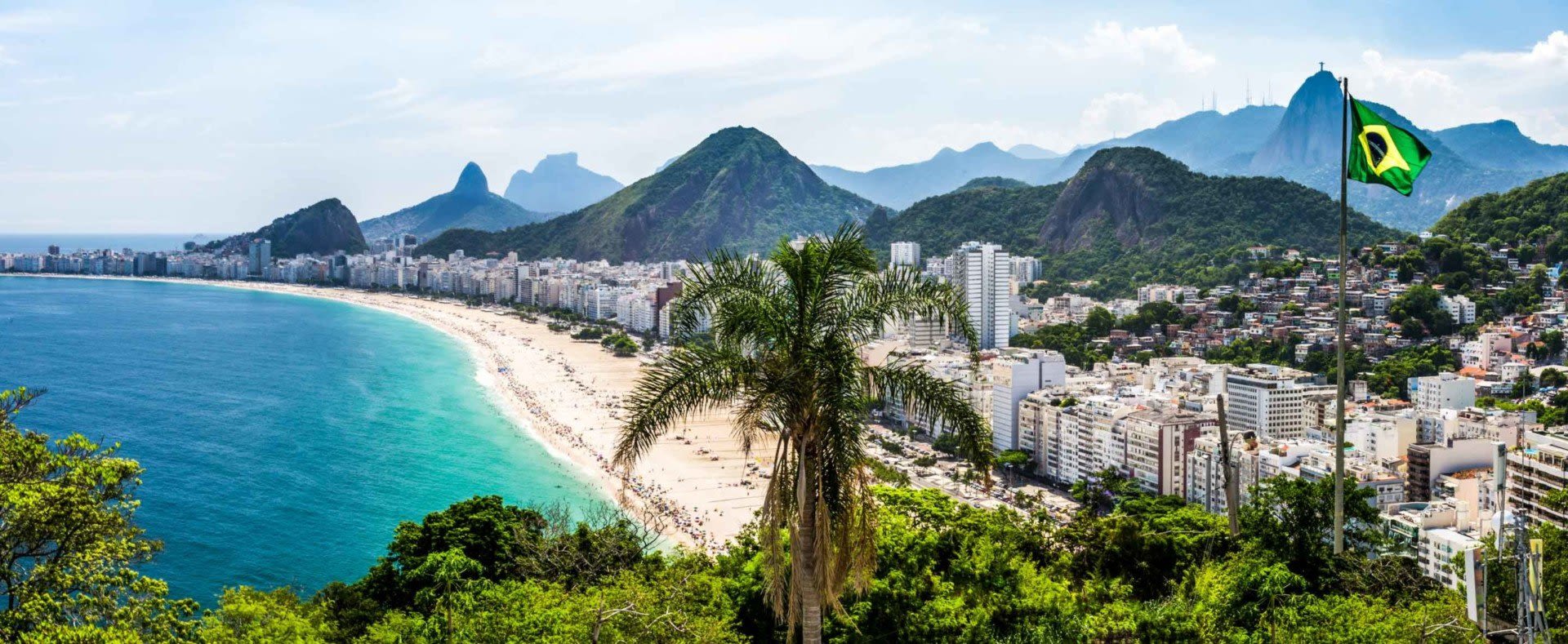
Rio de Janeiro is warm all year round rather than temperate. During the summer months the temperatures rise, with average highs of 89°F (32°C) in January and 90°F (32°C) in February. Even in winter the weather never really gets cold: July, the coolest month, averages lows of 66°F (19°C).
INMET has no rainfall normal for the city’s downtown station, but its Alto da Boa Vista station in the Tijuca Forest above the city, at about 1,200 feet (366 m), is wet in every month and averages 95 inches (2,415 mm) a year. If your Rio de Janeiro tour heads up into the forest, bring a rain layer in any season.
São Paulo shows the southeast’s pattern clearly: 11.5 inches (292 mm) of rain in January, 1.3 inches (32 mm) in August. At 2,575 feet (785 m) it is also cooler than Rio, with July lows of 55°F (13°C).
The northeastern region varies between states, and its coast keeps a different calendar from the south. Salvador is wettest from April to June, with 11.9 inches (302 mm) in May. Recife peaks in June at 15.4 inches (391 mm) and gets just 1.5 inches (39 mm) in November. Fortaleza, on the north coast, has its rains in March and April and is nearly dry from September to November. The temperature hardly moves: Recife’s average highs stay between 82°F and 88°F (28°C and 31°C).
Those are the months to weigh for a Salvador and Pelourinho tour, a visit to Recife and Olinda, or our Fortaleza, Jericoacoara and Lençóis Maranhenses tour.
The northeast is also known as the hottest part of the country, and the records agree, but the heat sits inland. The station with the highest average temperature in INMET’s normals is Floriano, in Piauí, at 83°F (28°C) across the year, with average highs of 94°F (35°C).
The Pantanal’s year turns on water. Rain falls mostly from December to March: Cuiabá, the gateway to the northern Pantanal, gets 10.3 inches (262 mm) in February and only 1.7 inches (43 mm) across June, July and August together.
The water arrives later than the rain. Embrapa Pantanal describes a flood cycle that begins with the first rains in October and November and lasts into the middle of the next year. On the Paraguay River at Ladário the yearly flood peak comes between April and July, most often May to July, when the rain has nearly stopped.
Days are hot, and Cuiabá’s average high reaches 96°F (36°C) in September. Nights are another matter: July lows average 63°F (17°C), and INMET notes that winter cold spells, called friagem, can reach Mato Grosso. A warm layer earns its place on a Pantanal tour or our Pantanal and Chapada dos Guimarães tour.
The Amazon Rainforest has a tropical climate and remains hot and humid throughout the year. In Manaus winter is practically unheard of: average highs run 88°F to 93°F (31°C to 34°C) in every month. Instead of the temperature, think about the wet season or the dry one. January to April bring up to 13 inches (331 mm) of rain a month, while August averages 2.2 inches (56 mm). Our Amazon weather guide goes deeper, and our Manaus Amazon tours are a good place to start.

Brazil does get cold, in the south and at altitude. The southern region is the coldest part of the country, and the eight coldest stations in INMET’s normals are all in Paraná, Santa Catarina and the Rio Grande do Sul. At Iguaçu Falls it rains in every month, with October the wettest. July lows there average 52°F (11°C), and frost comes on about one day a year, usually in July. Our Amazon, Pantanal and Iguaçu Falls tour crosses three of the climates on this page in one trip.
Curitiba, at 3,030 feet (924 m), averages July lows of 49°F (9°C), and coastal Florianópolis 55°F (13°C), so pack a jacket for a winter Florianópolis and Santa Catarina adventure. Porto Alegre has no dry season at all. Up in the Santa Catarina highlands, São Joaquim, at 4,590 feet (1,400 m), is the coldest station in the country, with July nights averaging 43°F (6°C). INMET lists frost across the south in winter and snow in its highlands.
Pack for the regions on your route. Light, quick-drying clothes cover the north, the northeast coast and Rio in any month. Add a warm layer for the south and for Pantanal nights from June to August, and a rain jacket for the southeast in summer, the northeast coast from April to July, and the Amazon. The rest is on our Brazil packing list.
One trip can cross several of these climates, so leave some slack in the plan and share your dates when you ask about a custom Brazil trip. Our Destination Consultants will custom design the route around the seasons in each region you want to see.





