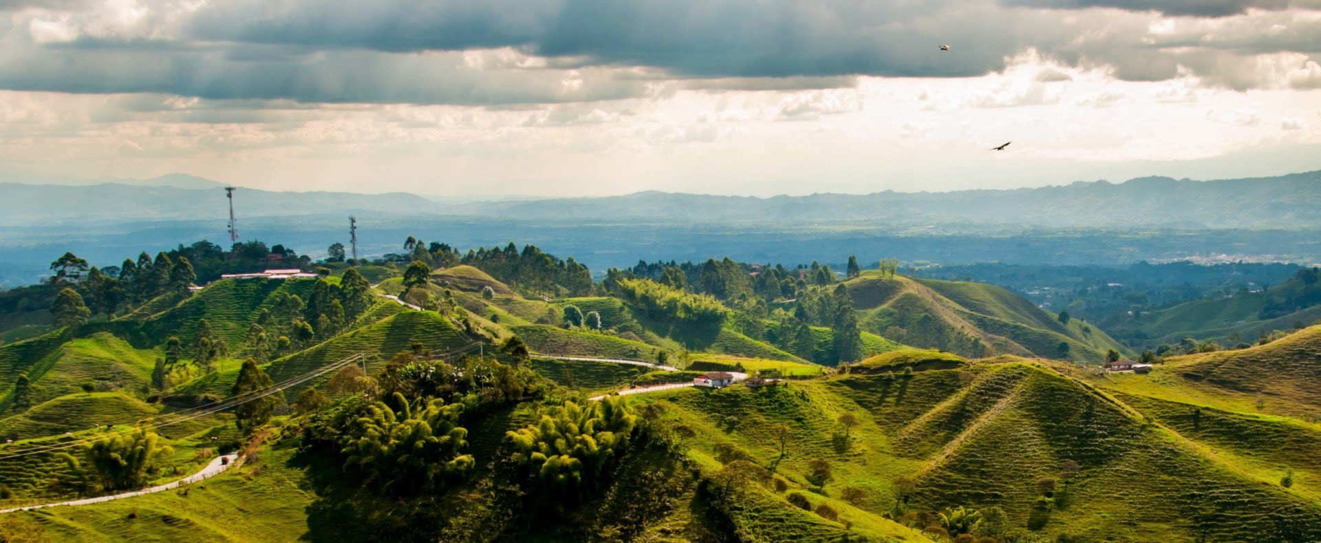
Colombia sits at the top of South America, south of Panama and the only South American country that borders it, with Venezuela to the east, Brazil to the southeast, and Ecuador and Peru to the southwest. It is the only country in South America with coastlines on both the Pacific Ocean and the Caribbean Sea, and its tropical climate plays out across five natural regions: the Andes, the Caribbean coast, the Pacific coast, the eastern plains and the Amazon.
Ask what the weather is like and the honest answer starts with where, not when. Temperatures barely change through the year. Altitude sets the temperature, and rain sets the season. Bogotá’s average high is 22°F cooler than Cartagena’s, while Cartagena’s own monthly highs move just 2°F over the whole year.
These are the 1991–2020 climate normals from IDEAM, Colombia’s national weather and climate institute, measured at each city’s airport station and reported to the World Meteorological Organization. Highs and lows show the range of the monthly averages across the year.
| City (IDEAM station) | Altitude | Typical high | Typical low | Wettest months | Driest months |
|---|---|---|---|---|---|
| Cartagena (Rafael Núñez airport) | 7 ft (2 m) | 88–90°F (31–32°C) | 75–79°F (24–26°C) | October, November | January–March |
| Leticia, Amazon (Vásquez Cobo airport) | 280 ft (84 m) | 86–90°F (30–32°C) | 71–74°F (22–23°C) | December–April | July–August |
| Pereira, coffee region (Matecaña airport) | 4,400 ft (1,342 m) | 79–81°F (26–27°C) | 63–64°F (17–18°C) | April–May, October–November | January, July–August |
| Medellín (Olaya Herrera airport) | 4,890 ft (1,490 m) | 81–84°F (27–29°C) | 63–64°F (17–18°C) | April–May, October–November | December–February |
| Bogotá (El Dorado airport) | 8,360 ft (2,547 m) | 65–68°F (19–20°C) | 44–49°F (6–10°C) | April–May, October–November | January–February, July–August |
Read across a row and the month hardly matters. Read down the rows, lowest to highest, and altitude does most of the work.

Consistent temperatures, then. Not the same temperatures. IDEAM sorts the country into altitude bands it calls pisos térmicos. The cálido (warm) band runs from sea level to about 2,600 feet (800 m), with average temperatures above 75°F (24°C). That covers Cartagena, Leticia, the plains and the warm Magdalena River Valley, where Neiva’s average highs run 89–95°F (32–35°C) through the year.
Templado (temperate), from 2,600 to 5,900 feet (800–1,800 m), averages 64–75°F (18–24°C): this is Medellín and the coffee region. Frío (cold), from 5,900 to 9,200 feet (1,800–2,800 m), averages 54–64°F (12–18°C), and that is Bogotá. Above it the cooler, rugged Andes climb through colder bands to the last one, nival, above about 14,800 feet (4,500 m). Colombia’s snow and ice live there, on its highest peaks.
The upland areas can even reach freezing temperatures. IDEAM records frosts from about 8,200 feet (2,500 m) up, most of them between December and February, the Andes’ first dry season, when the ground loses its heat overnight. The high plateau of Cundinamarca and Boyacá, the Altiplano Cundiboyacense, is the most exposed. Bogotá’s average January low is 44°F (6°C), so early starts on a Boyacá tour call for a warm layer.

Colombia has no winter or summer in the North American sense. The country straddles the equator, from Leticia at 4° south to Santa Marta at 11° north, so the temperature stays put and the seasons are wet and dry. Colombians call a rainy spell invierno, winter, and a dry spell verano, summer, whenever in the year it falls. Anyone who tells you Colombia’s winter is the middle of the year has the Andes backwards: in Bogotá, July and August are two of the four driest months.
Which months are wet depends on the region, and the four patterns follow. For when to go, see the best time to visit Colombia.
Bogotá, Medellín and the coffee region share one rhythm. Rain peaks in April–May and again in October–November, with drier spells in December–February and July–August.
The amounts differ a lot. Bogotá gets 35 inches (877 mm) a year, Medellín 69 inches (1,758 mm), and Pereira 97 inches (2,460 mm), with November alone bringing almost 12 inches (302 mm). The rainy months are wetter, not colder: Bogotá’s coldest nights come in dry January.
The coast runs on a single cycle. In Cartagena, January to March together bring less than a fifth of an inch of rain (4 mm) and under one rainy day. The wet season runs May–November and peaks in October, at 9.3 inches (237 mm). Cartagena gets 42 inches (1,074 mm) a year; Santa Marta, farther east along the coast, gets 22 inches (562 mm).
The heat does not break when the rain comes. Cartagena’s highs sit at 90°F (32°C) from May through September, a notch above January’s 88°F (31°C). The rain is the only thing that changes.
Then there is the Pacific. Quibdó, in Chocó, averages 321 inches (8,157 mm) of rain a year on about 287 days, with no dry season at all. Its driest month, February, still brings 19 inches (487 mm), more than half of what Bogotá gets in a year. Highs stay at 86–88°F (30–31°C) and lows at 74–75°F (23–24°C), month after month.
Leticia lies south of the equator, and the Amazon region keeps warm temperatures year-round with frequent rain showers. Highs run 86–90°F (30–32°C) in every month, and 132 inches (3,359 mm) of rain falls on about 206 days a year. The wettest stretch is December–April, at up to 15 inches (386 mm) a month. July and August are the driest and still bring 5.5–6.4 inches (140–163 mm).
The tropical plains of the east, Los Llanos, keep one long wet season instead. At Villavicencio it runs from April into November and peaks in May at 26 inches (658 mm), while January brings 2.4 inches (62 mm). Our Amazon rainforest tour covers both Leticia and Villavicencio.
The normals are averages, and some years stray far from them. IDEAM’s studies show that El Niño brings Colombia significantly less rain and warmer air, and La Niña significantly more rain and cooler air, above all in parts of the Caribbean, Andean and Pacific regions. The effect is uneven from one region to the next. IDEAM tracks both in its ENSO bulletin, Seguimiento al ciclo ENOS. If your trip falls in an El Niño or La Niña year, expect the season to run drier or wetter than these normals, and leave some slack in the plan.
In general, Colombia is a warm destination requiring light, breezy clothes. The exception is altitude. In Bogotá the average low sits at 44–49°F (6–10°C) all year, so pack a sweater or jacket for the evenings, and something warmer for anywhere higher. For the rainy season and most of your time in the Amazon, where it rains on more than half the days of the year, waterproof clothing earns its space. The rest is on our Colombia packing list.
If your route crosses several of these climates, share your dates when you ask about a custom Colombia trip, so the rain calendar shapes the order of the route from the start.





